The History of Shanakeever Valley
The Gloomy Slopes
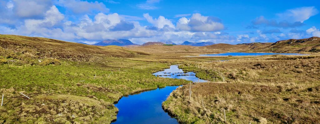
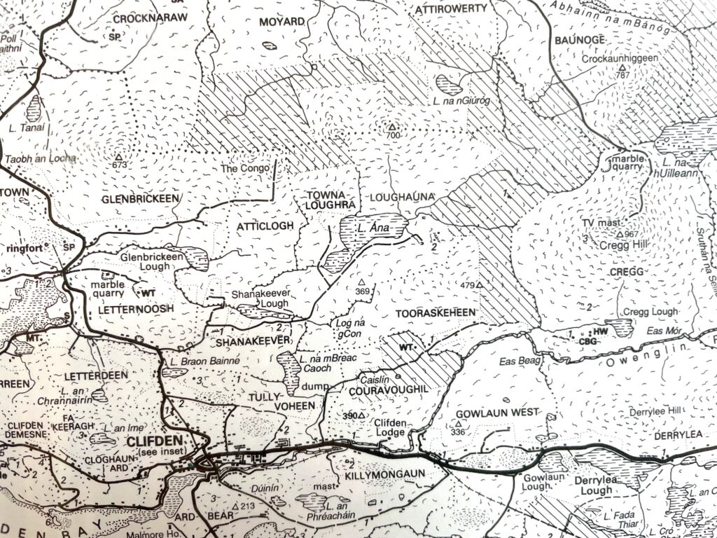
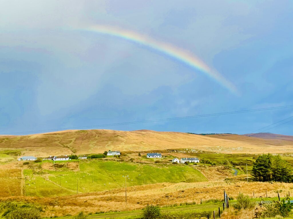
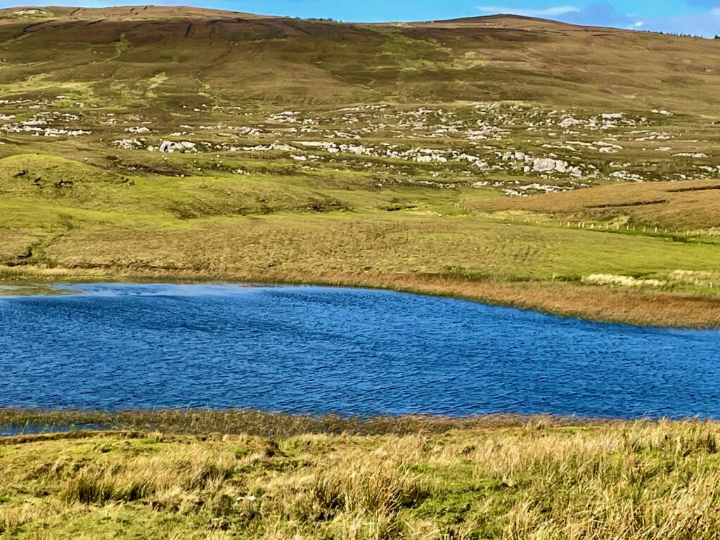
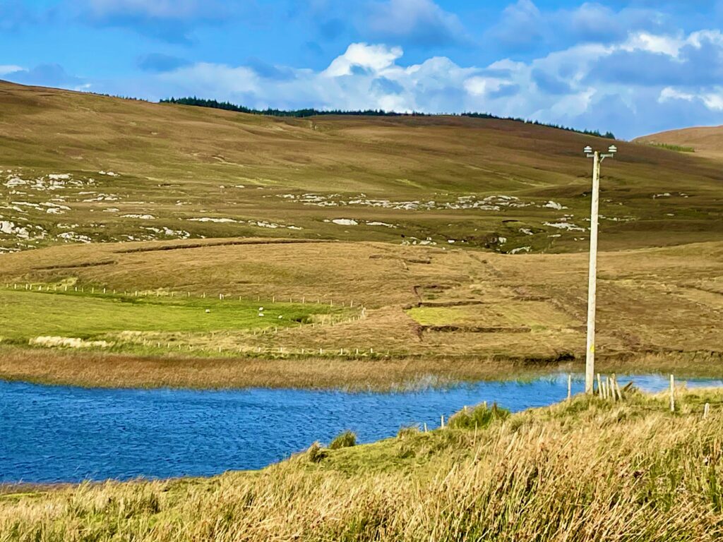
The Shanakeever Valley, Seanad Chiamhair in Irish, means gloomy slopes. Cachement waters descend through three lakes flowing out to the Streamstown estuary about a mile away. The lakes, in descending order, are Loughauna, Shanakeever, and Glenbrickeen (from Gleann Bricín, which means Valley of the Brown Trout.) Though beautiful, it perhaps takes its name from the sad history which much of the island witnessed in the recent centuries.
Prehistoric Traces
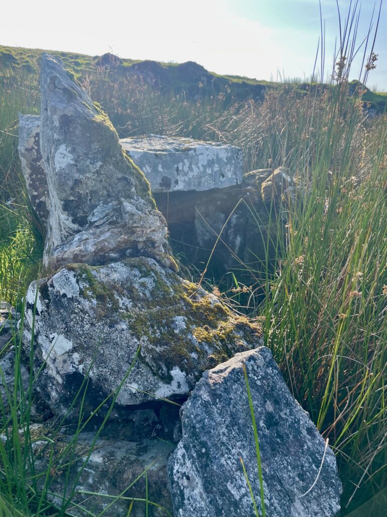
Evidence for human settlements in Shanakeever Valley extend back into the earliest records of human presence in Ireland. In particular, a concentration of prehistoric markings exist at the north end of Loughauna. These include a grove of ancient Hawthorn trees near an ancient cave dwelling and a 6,200 year old Dolman burial tomb.
An Enduring Way of Life
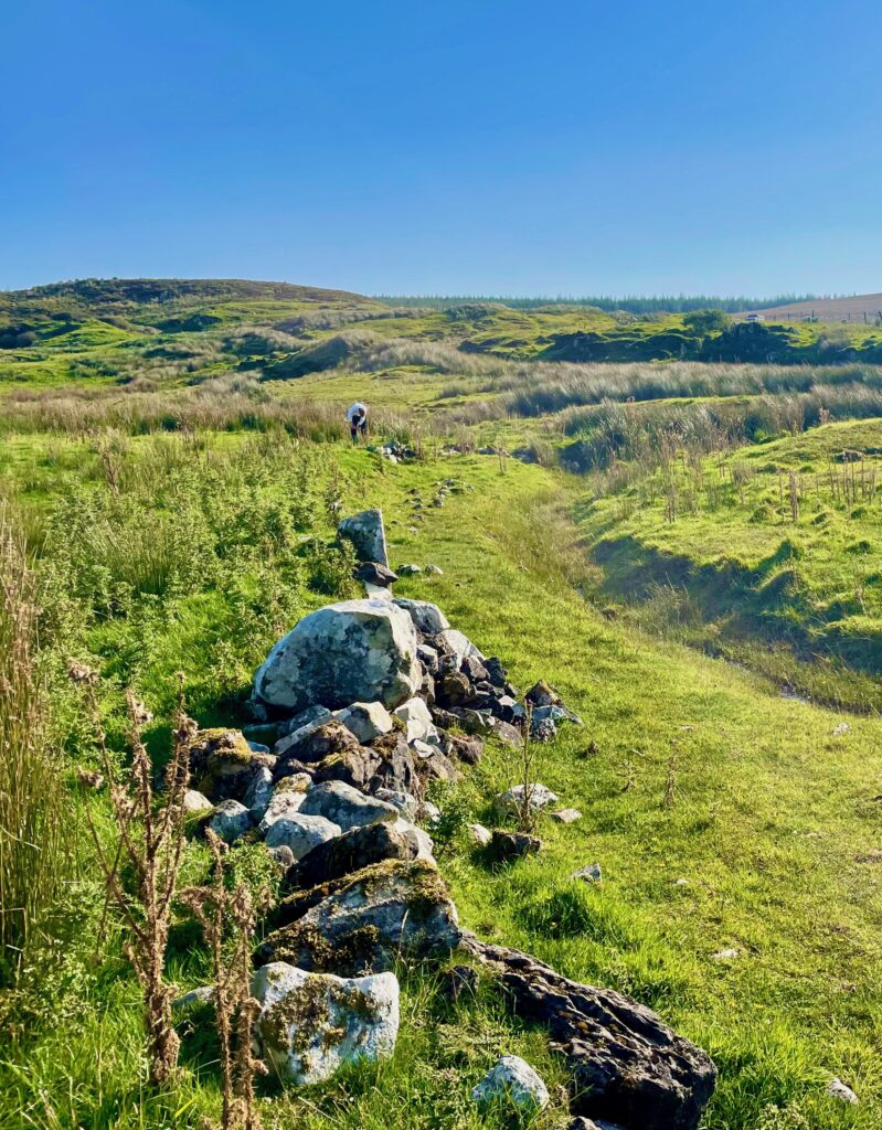
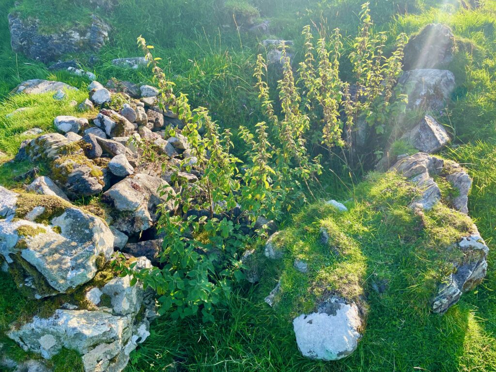
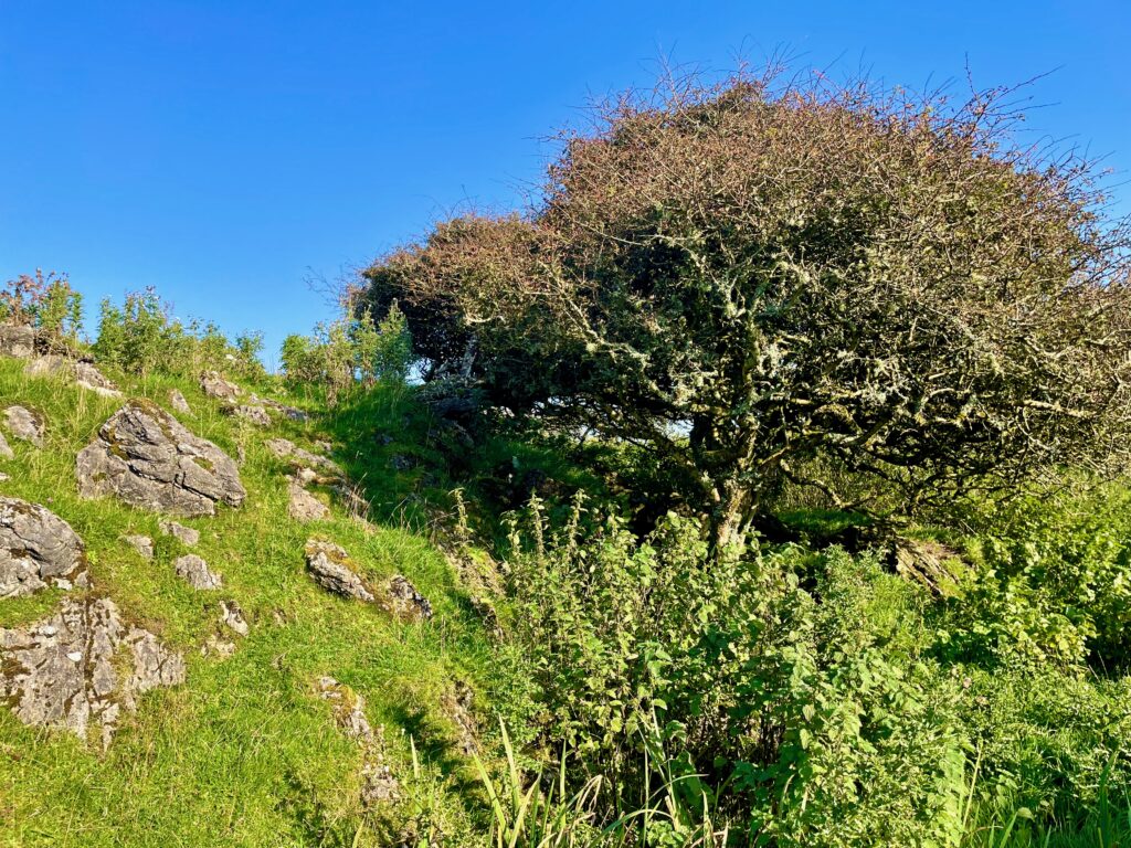
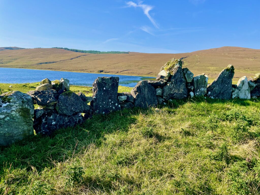
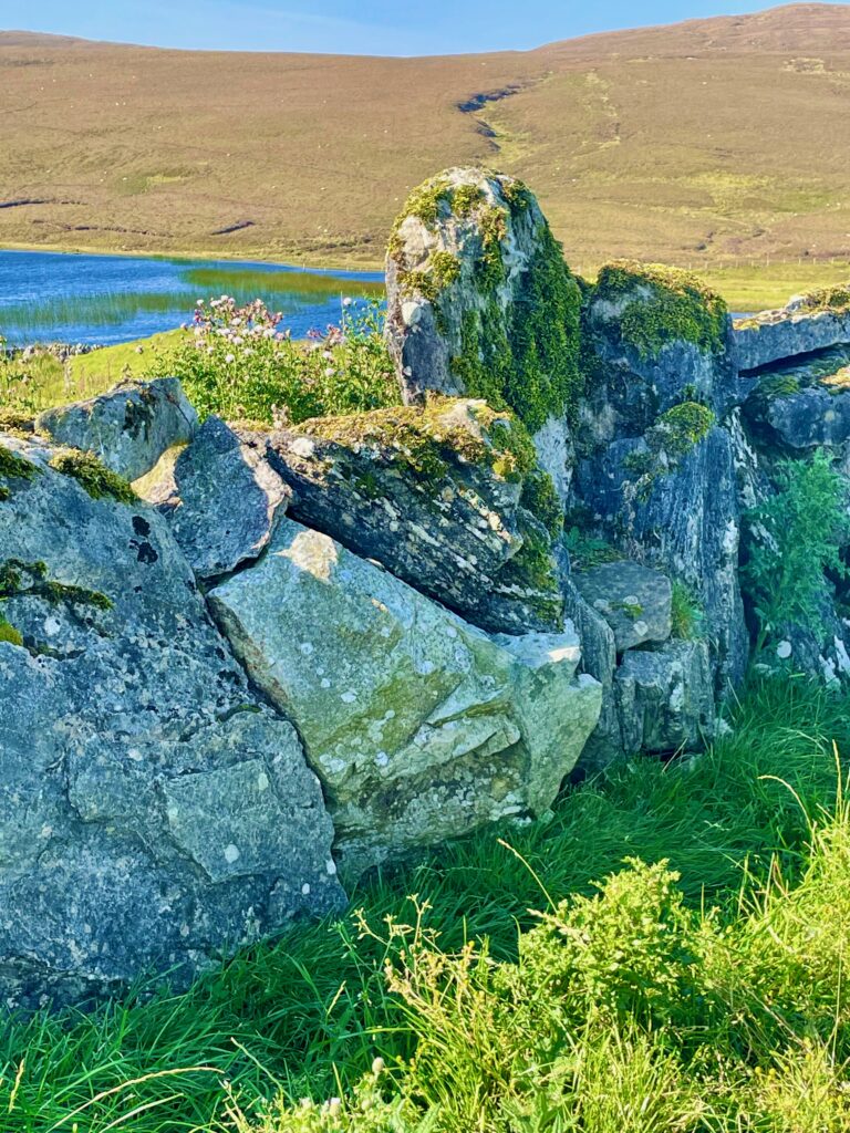
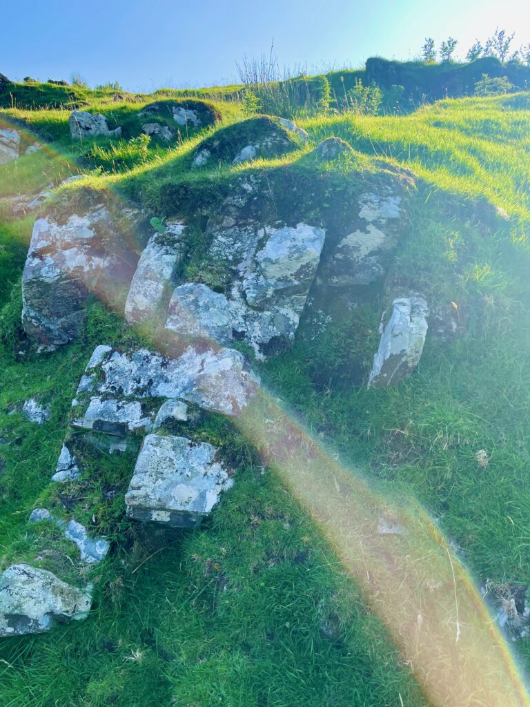
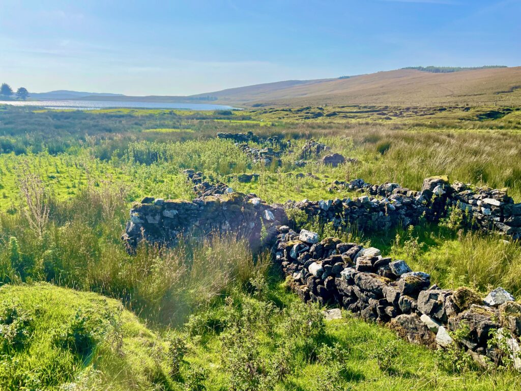
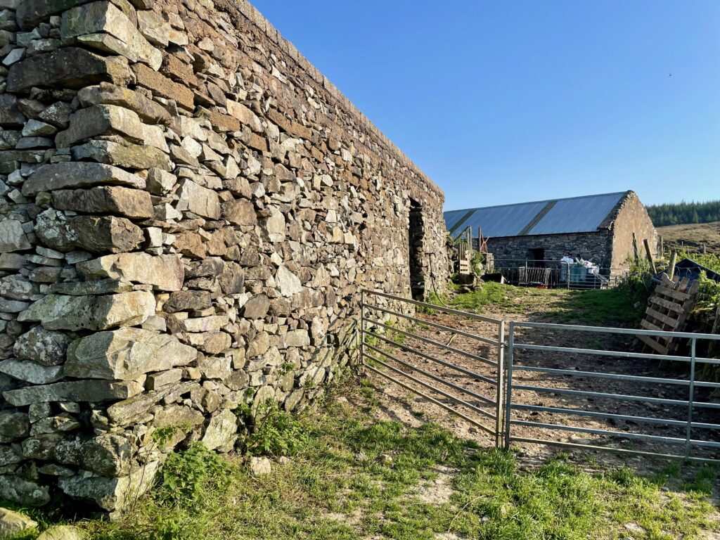
The lifestyle of the people here on the windy Connemara bogs changed little over the centuries. A semi-nomadic pastural economy known as booleying continued well into recent history. Even early 20th C. walls, homes, and other structures were made as they ever were, with the skillful laying of stone. One wall near Loughauna even includes a sitting nook happily arranged to afford a picturesque view to the sitter:
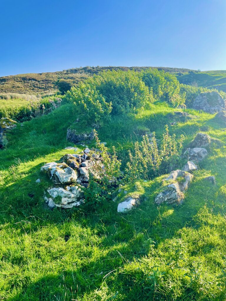
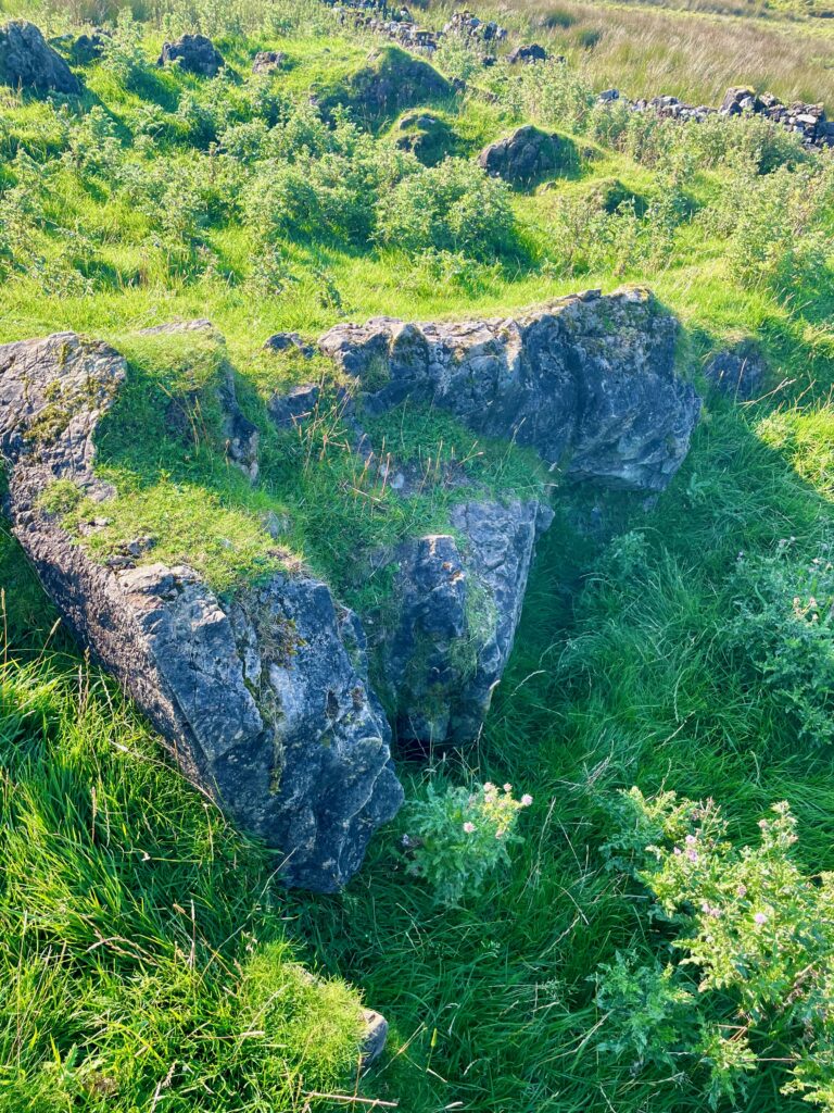
Another ancient practice that continued up until fairly recently is the establishment of small wind shelters. Dug out next to a boulder or ditch, the farmer would have huddled here with his livestock during the fierce winter storms sweeping through the valley:
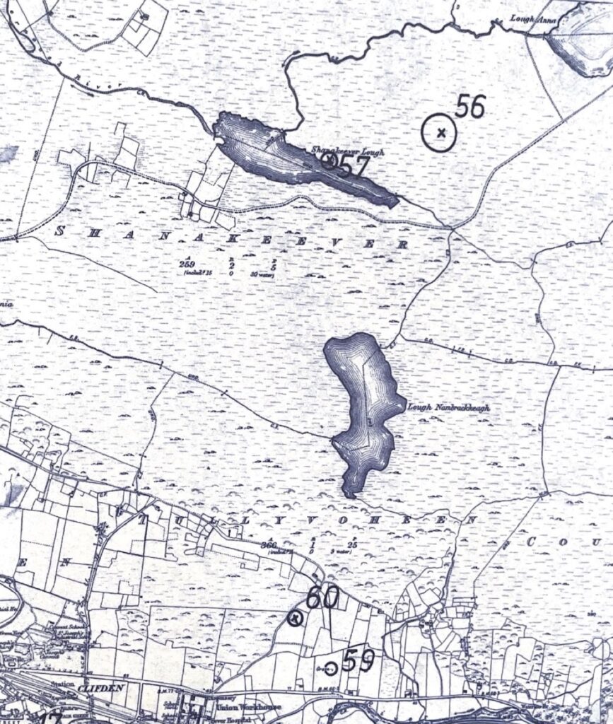
Most of the historical settlements are found north of Loughauna – Loch Ána. Some historians guess that the lake’s name refers to the girl’s name (Anne’s Lake) but former owner Tom Joyce believes the name in old Irish refers to the curved shape of the lake – Lake of the Bend. He also claims to have seen in Loughauna an Each-uisce – a mythical water horse (the Irish version of the Loch Ness monster). In fact, the Clifden library offers a whole scrapbook full of eye-witness accounts of the water horse of Loughauna.
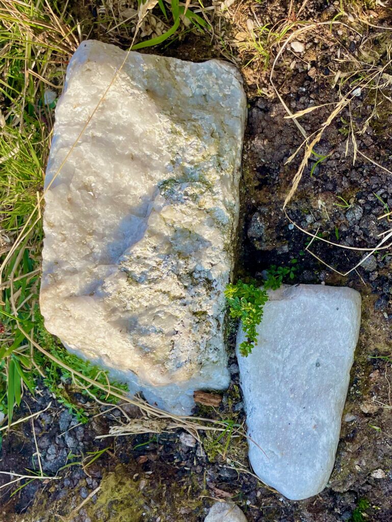
Connemara Marble
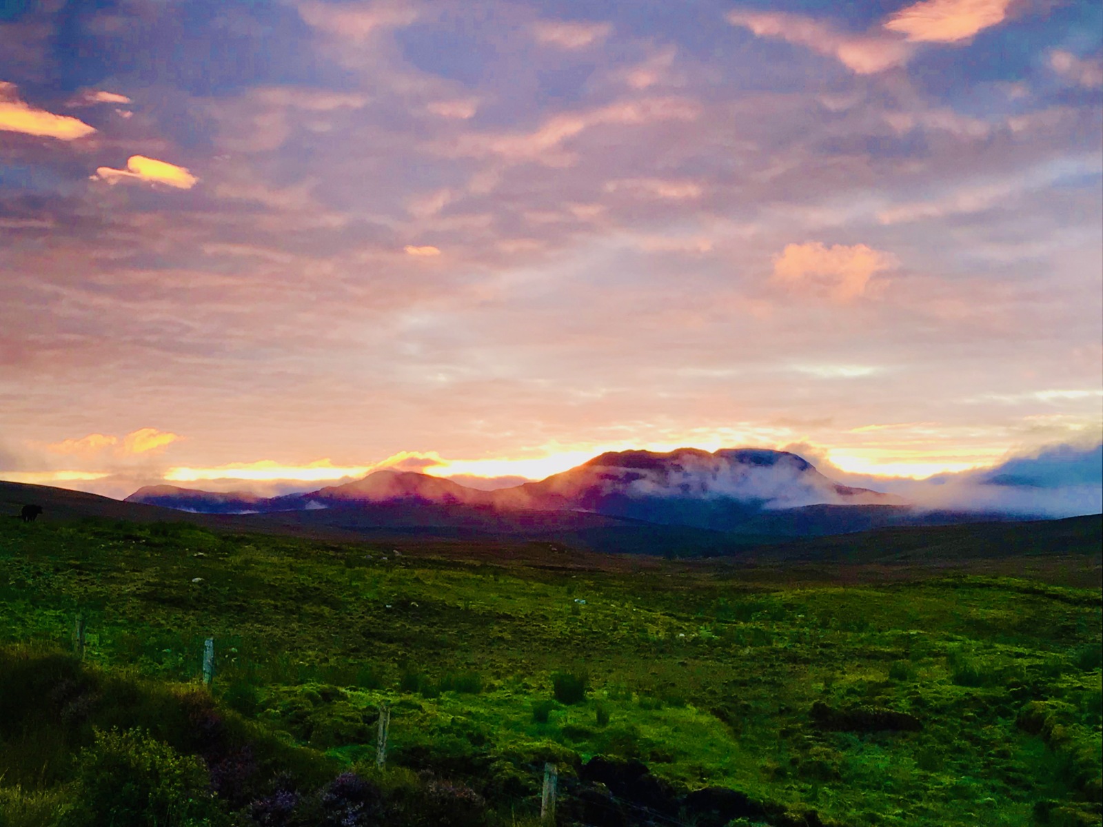
The rock bed of the Shanakeever valley, as part of the Dalradian geological unit, is largely metamorphic and includes a vein of the highly prized Connemara marble. A marble quarry operates at the head valley, north of the Cregg mountain (the crag so often featured in our sunrises).
Clifden’s Ancient Hermitage
Our town of Clifden may take its name from an Clochán, a monastic hermitage which stood here in ancient times. Likely ruined in the Viking raids which harrowed the west Irish coast, its legacy endured. One of its stones, known by locals as “the Clifden Stone,” marks a corner of the ruined Catholic church. It still stands in the town centre as part of Saint Mary’s Graveyard.
Like other nearby early Christian sites, such as Saint Colman’s ruins on Inishbofin and Saint Feichin’s ruins on Omey Island, this monastic site likely operated between the 6th and 9th centuries, at a time when Ireland served as an important centre for Orthodox Christian learning in the West.
“Go to hell or to Connacht!”

Image: British Library HMNTS 9508.ccc.14.
_p_415_Map_of_the_Settlement_of_Ireland_by_the_Act_of_26th_September,_1653.jpg)
Upon violently conquering Galway as the last of the Irish strongholds, Oliver Cromwell pronounced this sentence against the natives. As the Cromwellian conquest (1649–1653) confiscated their homes, many refugees fled or were forced to the remote western region of Connacht, of which Connemara is a coastal branch. For over a century, Penal Laws dispossessed the traditional Irish of their land ownership, language, means of living, and subjected them to systematic impoverishment and outlaw status. Irish “rebel” warriors became hunted for head bounties along with Catholic priests and the last of the native wolves:

A Secret Mass Rock
In the forests at the north end of Shanakeever, there is a clearing where locals used to gather during these hard times for illegal celebrations of Catholic Mass. This Mass Rock continues to see local visitors and still blooms every spring with daffodils, as experienced by the neighbour whose photo this is:

The Wild West Coast
The boggy and fractal Connemara coastland, being difficult to farm or access, meant that the region was among the poorest in the island. Some oral reflections about the region by an old smuggler named George O’Malley reminisce about these earlier times. He was recorded around the turn of the century and published in 1911 in James Barry’s Tales of the West:
There was no road of any kind in this wild, vast region, not even a beaten path. There was no chapel in some of the parishes, no priest’s residence, no school of any kind, no post office, no dispensary, no court of justice, no police barrack for there was no police until 1893…
George recalls earlier stories passed down of people coming to Connemara from other regions of Ireland, displaced by the Cromwellian conquest:
…they came in hundreds, and were received by the natives with open arms. The next thing they did was to take native wives, for the Connemara maidens of those days were easily wooed and won, and in a generation or so afterwards the result of this intercourse was a race of mortals the most heterogeneous to be met with in Western Europe. This was not a type to be seen amongst the Caucasian race, scarcely, but its prototype could be seen in that strange, wild region, but the great famine and emigration cleared them out.“
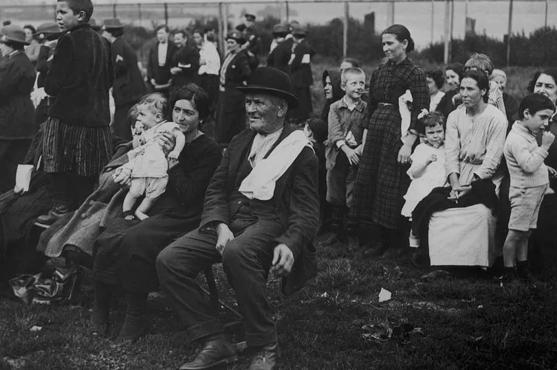
Vanishing in the Great Famine
The Great Hunger of the late 1840’s caused catastrophic death and suffering in Ireland. Its effects fell disproportionately on native Irish speakers such as those living in Connemara. Connacht, of which Connemara is a part, ranked as the region hardest hit, with some historians estimating that 25 % of its population died in the first five years, and many numbers more fled, so that the population decreased by nearly half. In fact, the speed by which entire villages and regions were wiped out by the famine make the task of calculating thier loss one of strenuous guesswork.
Many outsiders commented on the quietness and enduring faith with which the Irish suffered the famine. Sidney Osborne, in 1849 Ireland, remarked that:
The religion of very many of these peasants carries them patiently through the very deepest trials, none who have been amongst them will deny; it seems to be the only thing left them; it doesn’t catch cold, fever, or die from exposure and want; legal process cannot evict it; it survives and is strong, when the body, in which it is the acting spirit, can scarce be said to live.”
Another first-hand account from 1847 by Asenath Nicholson featured in Jerry Mulvihill’s book, “The Truth Behind The Irish Famine” describes such faith in the following scene:
It was one of the most touching, striking features of the famine, to see a family looking into a withered patch, which the day before looked promising, and hear the exclamations of wonder and praise, weeping and thanks giving, mingled together, “He’s sent the blast, blessed be His holy name!” “His blessed will be done—and we’ll all die with hunger, and praise God we’re all poor sinners.”
Haunted by Evictions
The 200,000 acre Ballynahinch estate, to which the Connamara region belonged, was the largest estate in Ireland. It went bankrupt during the famine due to the formidable efforts of its viscount, Thomas Martins, to provide famine relief despite an unwilling government. Martins died of famine fever in 1847. According to legend, his final words were “My God! What will become of my people?”
A few years later, in 1950, an unnamed journalist for the Illustrated London News reported about the dismal state of Clifden:
Great numbers of houses have been levelled– but the poor, unlike those of Kilrush, have in great part disappeared with the houses. They have not found refuge in the workhouse– they have not been carried away as emigrants; they have either wandered away or have died, or both may have contributed to cause their disappearance.”
Almost certainly levelled, the pre-famine village at the northeast end of our Shanakeever valley lies in ruins. Not one stone stands above knee-height, though other nearby cottages from the same era remain intact. The levelling of homes—imprinted in the memory of the Irish as among the cruelest gestures of humanity during the Famine—were forced evictions in which crowbars and violence were used to tear down family homes. Josephine Butler, who visited Ireland at the height of the famine recalls:
Sick and aged, little children and women with child, were thrust forth into the snows of winter. And to prevent their return their cabins were levelled to the ground and burned… the few remaining tenants were forbidden to receive the outcast… the majority rendered penniless by the famine, wandered aimlessly about the roads or bogs till they found refuge in the workhouse or the grave.”
Land managers often hired levellers to avoid the high cost of providing famine relief. Reporting in January amid the most bitter weather of the year, the London journalist continues his observations:
I have a list of 111 houses levelled within a few months in the immediate neighbourhood of Clifden, which is very considerable, considering that the whole population of the Union was only 33,465 in 1841. Assuming five inmates to a house, the sixtieth part of the population has been dispossessed.
As the poorest of the poor, stranded in a lonely region amid a nation wracked with hunger and poverty, the famine victims of Connemara seemed unable to resist their fate. According to a book by Kathleen Villier Tuthill, around 23 people lived in the settlement north of the Shanakeever valley in 1840, only 3 in 1850 and none in 1853.
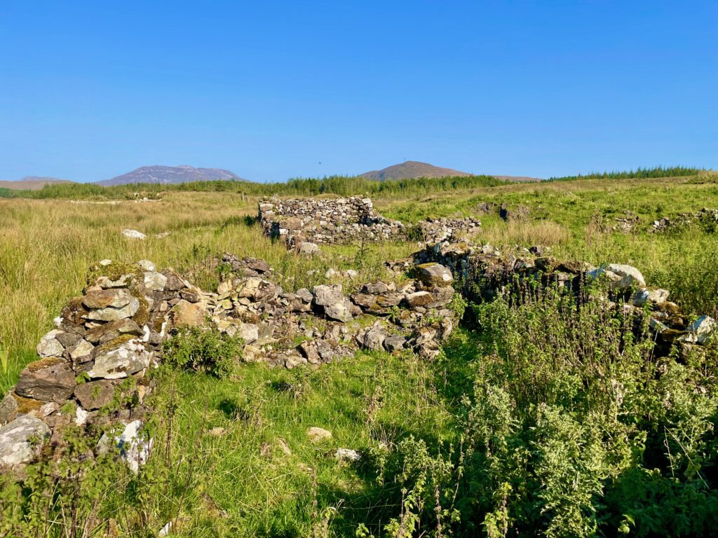
Our home belongs to a settlement in Atticlough (Áit tí Cloch – Place of the Stone House). The name may refer to our neighbour Paddy’s house, but the abrupt disappearance of the valley’s folk during the Great Famine means that no one really remembers. Another ruined structure also exists which may also have been a house:
Lonely Slopes
As wind blows through the Shanakeever valley, it moans and howls at Piper’s Hollow, a corner at the southeast bend. In the wake of the famine, severe economic turmoil caused a mass exodus of Irish refugees to communities around the world. These post-famine haemorrhages lasted for several generations. Our American family, for instance, traces our Irish heritage to the 1860’s, through Ellis Island.
According to Wikipedia, 40% of Irish-born people lived abroad by the year 1890. By the 21st century, an estimated 80 million people claiming Irish ancestry lived outside of Ireland, making it one of the largest diaspora in the world.
Trying to Recover
Meanwhile, hungry lads used greyhounds to hunt hare in the deserted Shanakeever valley. To this day, a corner of the valley goes by the name Luagh na gunn or Log na gCon, or “meeting point of the hounds”. Back then, a clear hare-coursing run would have stretched without roads or fences up to the famine ruins. Locals remember another coursing slope at Nun’s Hill near Tawnaloughra (Tamhnaigh Luachra, which means “arable patch of rushes).
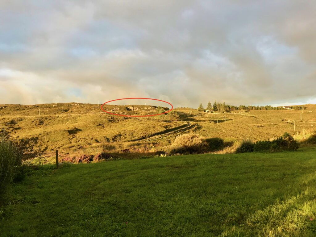
Hare-coursing is the subject of a well-known song about the valley, Bogs of Shanaheever. The ballad follows a lad whose favourite dog dies while chasing a hare over a cliff. He sadly packs up and leaves for America. Bruce Folley sings a version of the song whose lyrics correctly spell the local names. Believed to be based on the biographical memories of one of the local Mullarkey brothers (who did eventually return from America), local historians have pin-pointed the place where Victor the dog would have died. We can see it from our front door, circled here in red:
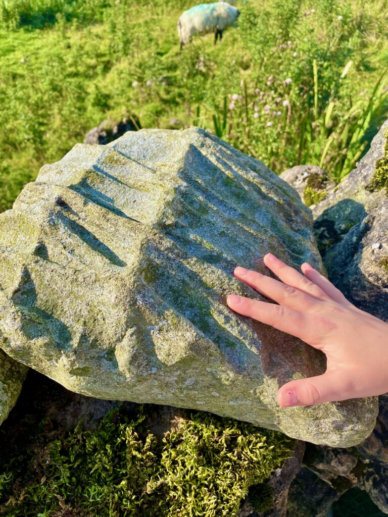
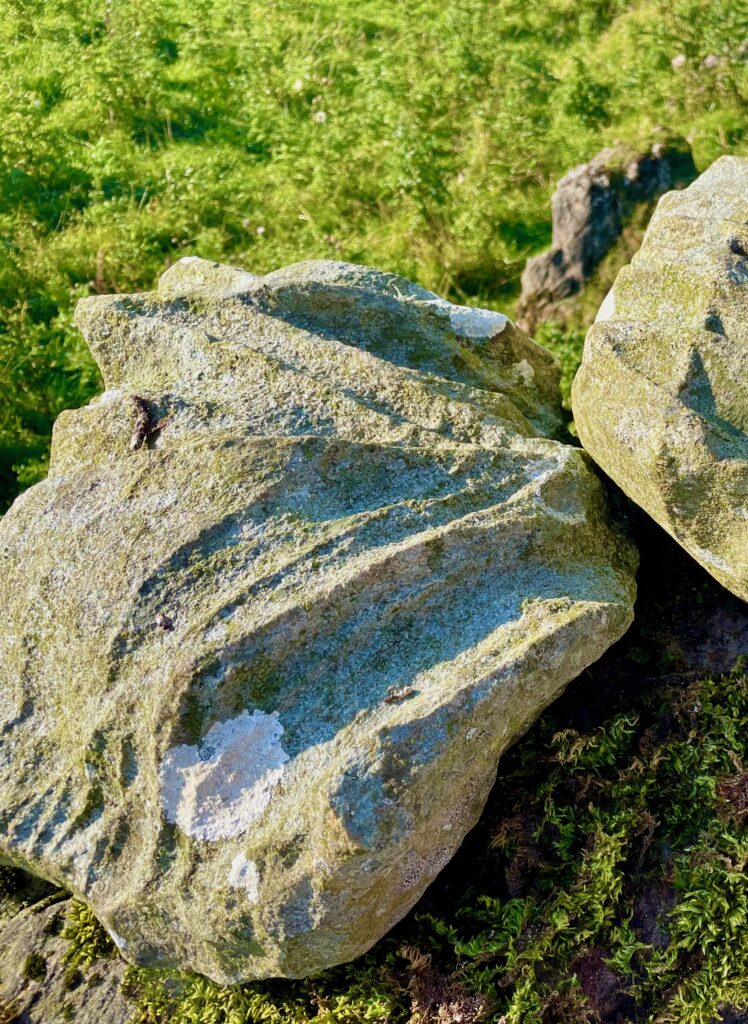
Turf-Cutting into the Bog
On the northern slope of the Shanakeever lake lies extensive blanket bog. One can still see the rows in the land from pre-famine potato cultivation, and the square ridges from cutting turf (burnable peat, for making fires) with a hand-held sleán:
The valley opened up for widespread turf-cutting in the 1950s. The competition for turf-cutting rights became so fierce that the locals began to call the area “The Congo,” nicknamed for the war-torn region in West Africa.
A neighbour grew up on Omey Island and remembers coming to the Shanakeever valley as a boy to cut turf with his family. Often barefoot, they would walk the 15 or so kilometres, about 3-4 hours each way. There, rain or shine, the whole family would work all day, cutting turf with a hand-held sleán, turning, stacking, and finally carrying them home. “It was pure slavery,” he laughs.
Memory Eternal
As part of the research of the valley’s history, our neighbours offered several songs as favourites to reflect the themes and heartaches of the area. Processing of difficult emotional realities through song is a peculiar and enduring aspect of Ireland’s bardic culture. One struck a chord with me; John McDermott’s The Old House:
Here’s where the children played games on the heather
Here’s where they sailed their wee boats on the burn
Where are they now? Some are dead, some have wandered
No more to their home will the children return…”
It speaks, perhaps, to the value of preserving memory as a spiritual act. As remembrance endures grief and heartache, it becomes a source of faith. We trust that, despite frailty, loss, even anonymity, our lives have inherent meaning and value. We don’t know all the names of the people who lived in this valley before us. But we remember them as we walk in their footsteps.
And we’re glad that they were here.
A Visual Tour
The photos can also be viewed here, in an expandable format:


")


